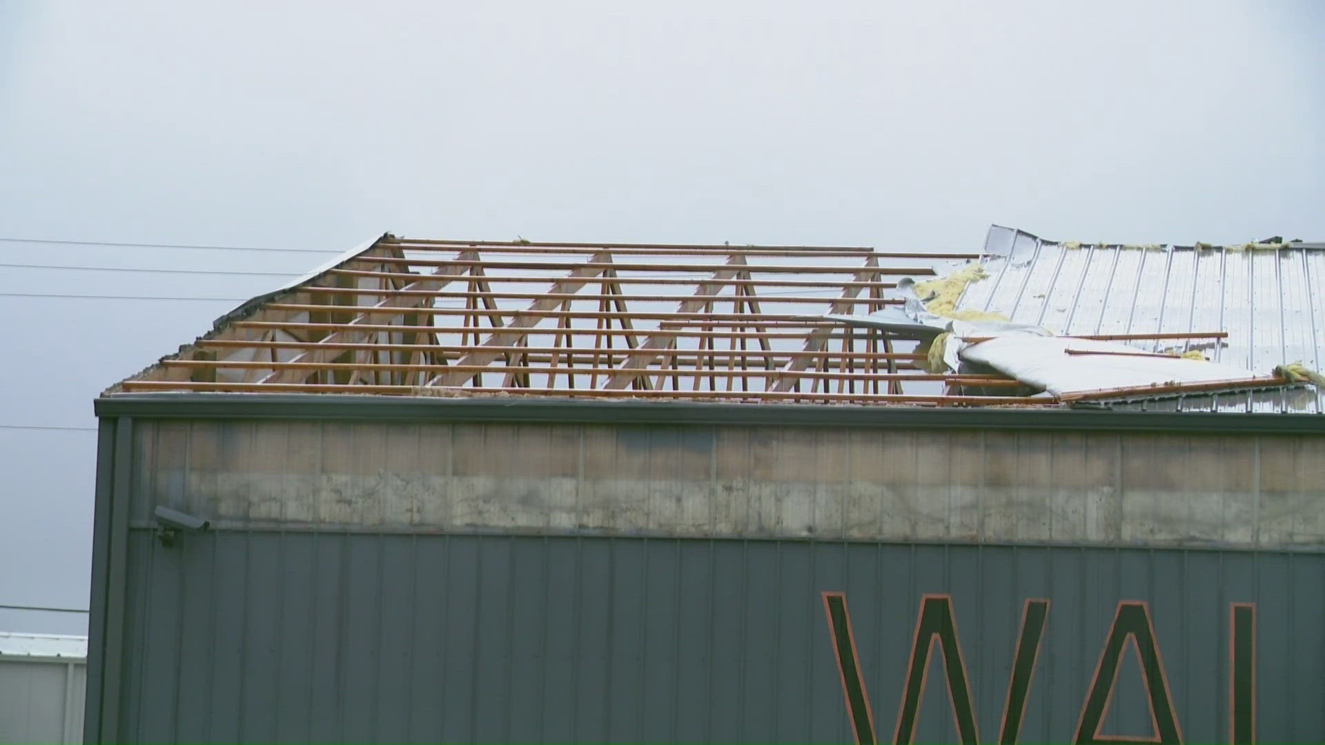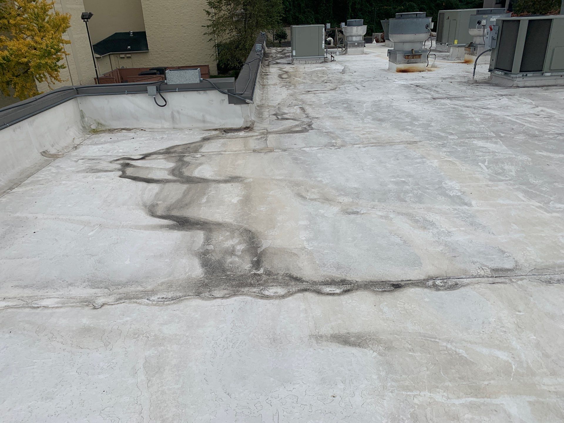
Memphis's storm exposure combines tornado-generating supercells, summer derechos, and spring hail seasons into one of the more demanding commercial roofing environments in the mid-South. Our storm-damage response is grounded in rapid on-site assessment, temporary dry-in before we leave, and documentation that works for both repair scoping and insurance claim support.
Memphis's geography produces storm events from multiple directions and mechanisms. The Gulf of Mexico moisture track - warm, humid air moving northeast out of Louisiana and Mississippi - feeds thunderstorm systems that can produce any combination of tornado, large hail, and straight-line wind in a single storm cell. The Ohio Valley cold front track brings organized squall lines and derechos from the north and northwest. The convergence of these patterns over the Mississippi River valley makes Memphis one of the most storm-active commercial markets in the mid-South.
The 2008 Super Tuesday tornado outbreak, the 2011 derecho and flooding sequence, and the recurring spring severe weather seasons that produce documented insurance claims across Shelby County commercial inventory - these are the benchmark events that inform how we approach storm damage response. We have walked roofs the morning after every major storm event to affect the Memphis metro since our practice here was established. The documentation protocols we use are built from that experience.
Storm Response Priority by Event Type
Tornado events: Immediate priority. Tornadoes produce the most consequential structural and membrane damage in the shortest time - and the post-storm debris field, structural instability risk, and high demand for contractor response all peak in the first 24-48 hours. We mobilize storm-event crews as soon as the event clears and access to the affected area is confirmed safe. Buildings on our maintenance contract get first-call mobilization; post-event calls are queued by building use and occupancy impact.
Derecho and straight-line wind events: Same-day priority. Derechos move through quickly, often in overnight hours, leaving membrane uplift and perimeter flashing damage that can admit significant rainfall from the next rain event. We schedule post-derecho assessments as early as the day after the event.
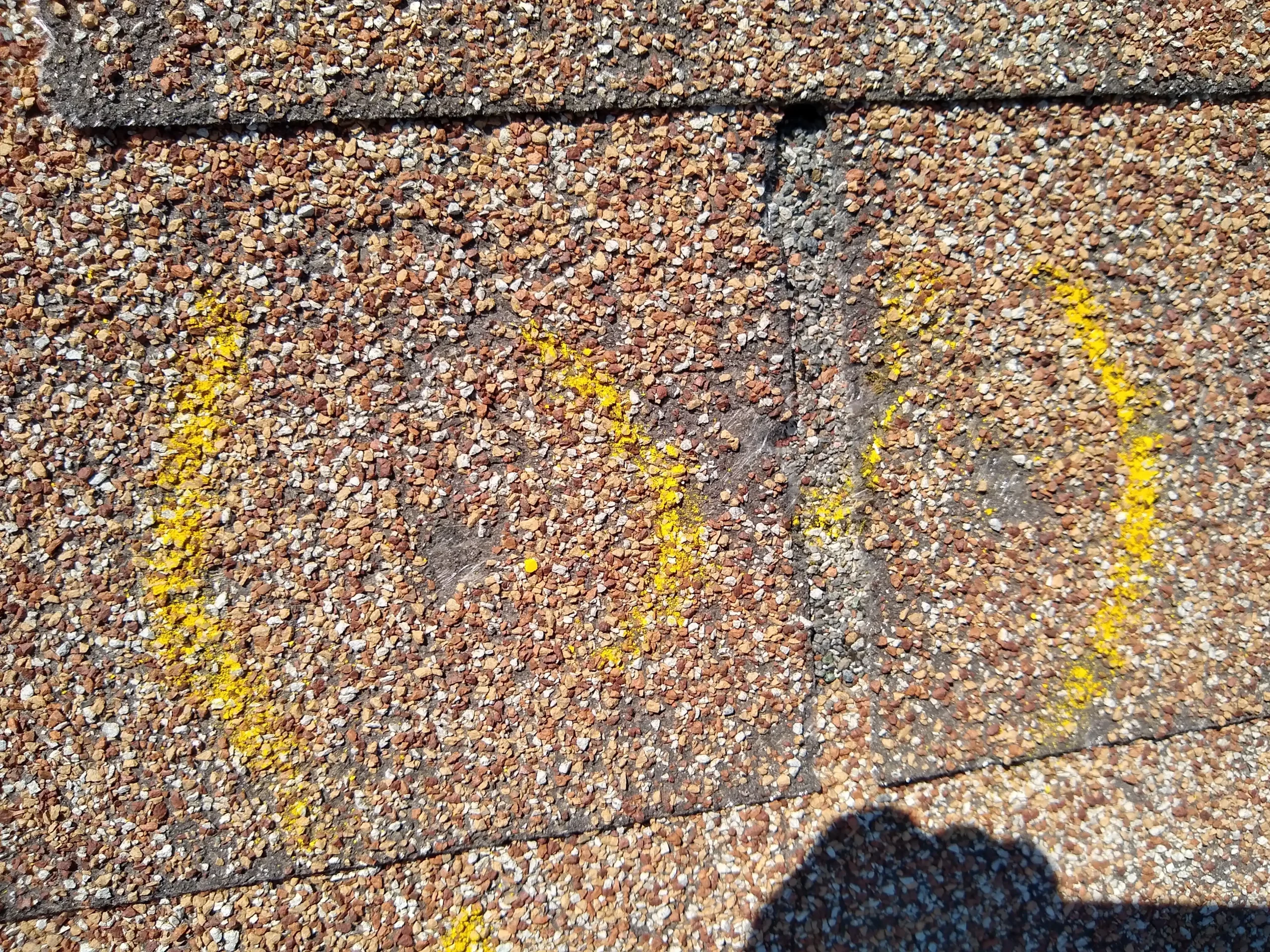
Large-hail events: Next-day priority for buildings with reported hail diameter above 1 inch at their address per NWS Memphis storm data. Hail damage often does not produce immediate leaks but does create membrane fractures and bruising that must be documented before weathering affects the forensic evidence. We accept hail assessment calls for up to 30 days post-event.
Multi-Peril Storm Events: Documentation Challenges
Memphis storm events frequently involve multiple damage mechanisms in the same incident - a supercell that produces tornado-strength winds at one location, large hail at another, and sustained straight-line winds across a broad swath. Documenting a multi-peril event for insurance purposes requires separating the damage attributable to each mechanism, because the insurance coverage response may differ between wind, hail, and structural causes.
We produce multi-peril storm assessments with explicit separation of damage by probable cause: tornado/uplift damage (characterized by fastener pull-through, seam parting, and field membrane displacement in a pattern consistent with rotational or updraft loading); hail damage (characterized by impact-pattern distribution, membrane fracture or bruising at random intervals consistent with hailstone size); straight-line wind damage (characterized by perimeter zone failure with field membrane intact, often directional in pattern); and debris impact (characterized by membrane tear or puncture with debris contact evidence).
The written narrative in a multi-peril assessment specifies which damage category each documented location falls into and the basis for that classification. This structure gives the adjuster, public adjuster, or forensic engineer a defensible categorization to work from rather than a general claim that 'the storm caused damage.'
Emergency Temporary Dry-In and Permanent Repair Sequencing
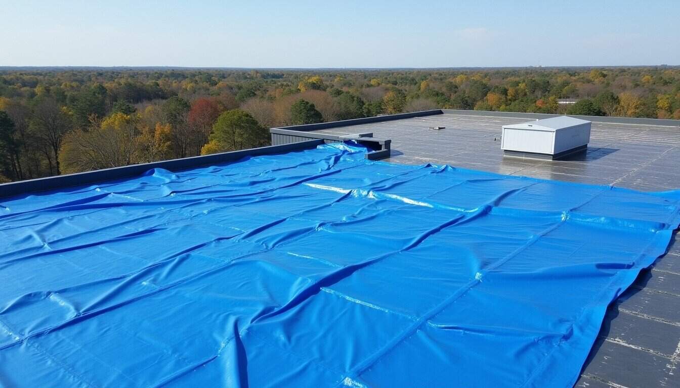
Temporary dry-in after a Memphis storm event is installed on the same day as our damage assessment on any building with active membrane breach. Our temporary dry-in is a mechanically anchored polyethylene sheeting system weighted and fastened to resist re-displacement in subsequent wind events - not a thrown-on blue tarp. It is installed in a configuration that allows safe roof access for subsequent permanent repair crews.
Permanent repair is scoped after the temporary dry-in is in place and the full assessment is documented. We do not start permanent repair on a building where the damage assessment is incomplete - starting permanent repair before documentation is complete can obscure the evidence that makes an insurance claim defensible. The sequence is: assess and document fully, temporary dry-in, complete written assessment package to building owner, permanent repair scope and contract, production.
Permanent repair production after a major storm event in Memphis can run 2-6 weeks from contract signing, depending on material availability and crew scheduling when multiple buildings across the metro were affected by the same event. We are transparent about our production queue after major storm events - we will tell you where you are in the queue and why, rather than making promises we cannot meet.
Storm damage to a Memphis commercial building?
Same-day or next-morning assessment, temporary dry-in on any active breach, and a written damage package in a format your adjuster can use.