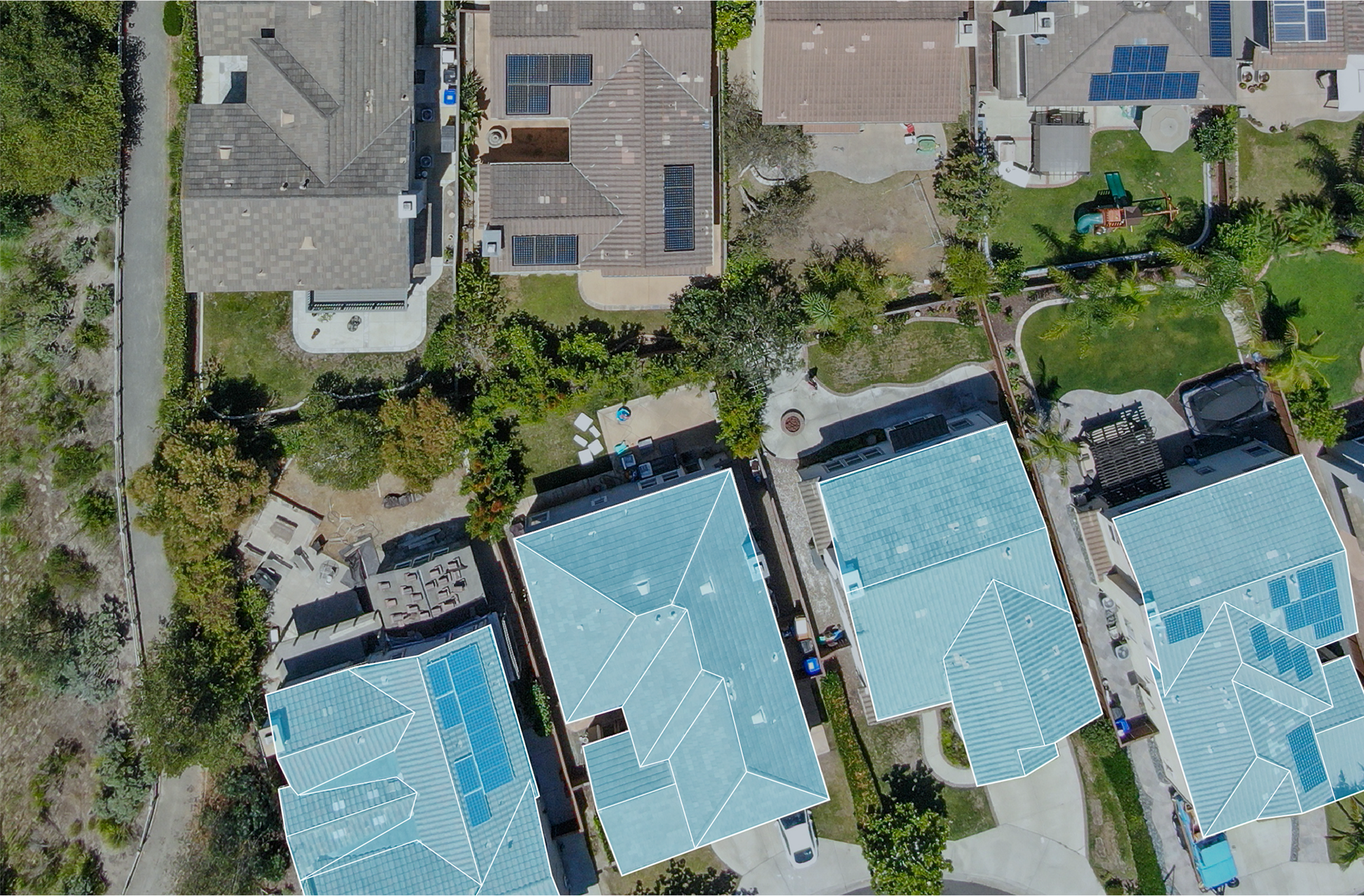
Some Memphis roofs are simply too large to walk well
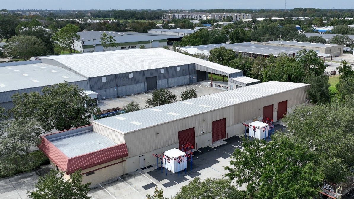
Plenty of the commercial roofs in this metro are measured in acres rather than squares. A single distribution building feeding the FedEx World Hub at Memphis International can carry more roof than a downtown block, and the fulfillment and cross-dock facilities ringing the BNSF and CN intermodal yards in southeast Shelby County are no smaller. Survey one of those on foot and you spend most of a day on it and still walk past problems, because the eye fatigues and the surface all starts to look the same after the first few thousand feet. There is a safety dimension too: sending inspectors onto a roof of unknown condition risks the crew and risks the membrane, which may already be soft over saturated insulation. A drone flies the whole roof in a planned grid at a fixed altitude, captures every drain sump, seam, curb, and penetration at high resolution, and never sets a boot on the surface. For a roof this size that is quicker, safer, and more thorough than a walkover, and it leaves us a dated photographic baseline to measure next year's flight against.
The thermal camera is where the real value lives
The most important product of an aerial inspection here is not the pretty overhead photo. It is the moisture map, and that comes off the infrared sensor. Wet insulation carries more thermal mass than dry insulation. Across a sunny day the entire roof soaks up heat, and once the sun drops the dry areas release it fast while the saturated zones cling to it and stay warm. We schedule the thermal pass for that evening cool-down window precisely because the contrast between wet and dry is sharpest then. What comes back is a map of exactly where moisture is trapped inside the assembly, even where the membrane overhead looks flawless from the parking lot.
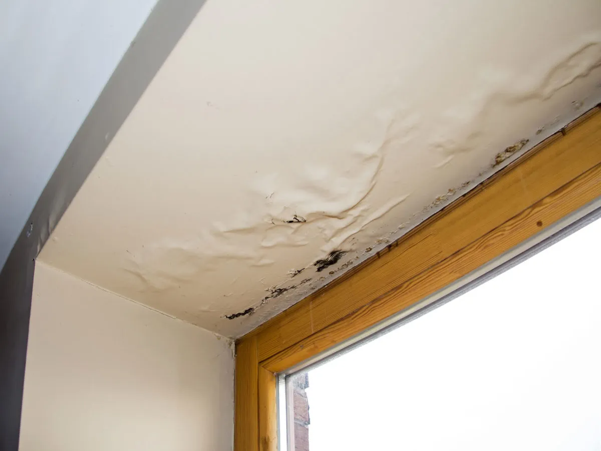
In Memphis that diagnosis carries weight. The summers run long and humid, spring drops heavy rain, and once moisture is inside a roof assembly here it does not readily dry back out. A thermal survey tells us whether we are dealing with a few discrete wet pockets we can cut out and patch or saturation creeping across a third of the roof that has pushed the building into replacement territory. Without that data the call is a guess, and guessing wrong in either direction burns the owner's money, either tearing off a roof that only needed a repair or patching a roof that was already finished.
An infrared hotspot is a lead, not a conclusion
We never write a moisture finding off the thermal image alone. A warm signature can also be thrown by a rooftop unit that ran recently, a puddle still holding the day's heat, or thermal bridging through the structure. So we treat each flagged zone as a candidate and confirm a representative sample on the roof, either with a core cut or a capacitance moisture meter, to verify the insulation is genuinely wet and to gauge how deep the saturation runs. Pairing the aerial infrared pass with that on-roof verification is what converts a colorful picture into a defensible scope an owner, an engineer, or an adjuster can stand behind.
Flying legally over Memphis airspace
Commercial drone work is regulated and we run it by the book. Every flight is conducted by a pilot certificated under the FAA's Part 107 rule. A large slice of Memphis sits inside the controlled airspace around Memphis International, and the round-the-clock cargo traffic moving through the FedEx hub makes that airspace busier than most. In practice that means a great many sites require authorization through the FAA's LAANC system before we can launch, and a few need coordination beyond it. We run the airspace check, secure the authorization, and apply any altitude ceiling as part of scheduling, so the flight is legal before the aircraft leaves the case. On site we keep the drone within visual line of sight, watch wind and weather, and stay well clear of people and active truck operations. Flying over a working distribution yard demands discipline, and we plan the path around the yard's traffic.
A report an adjuster can actually use
This corridor takes its share of severe spring weather, straight-line wind, and intermittent hail, and after a storm the owner's real question is how to document the damage credibly. Aerial imagery answers that well. We deliver a GPS-tagged photographic record that pins hail bruising and impact density, traces wind-lifted or torn membrane, and captures damage to flashings, edge metal, and rooftop equipment, every item geolocated so an adjuster can find it on the roof. We organize the package to match what commercial property carriers expect to see, which makes it suitable to drop straight into a claim, and on storm response we move the flight to the front of the queue so the documentation reaches the carrier while the claim is fresh.
Flying the roof before we design a reroof
Aerial inspection earns its keep as a planning tool, not only a diagnostic one. Before we put a reroofing proposal together we use the flight to verify roof area, locate every curb and penetration, and document existing conditions for the specification. Designing off measured, photographed reality instead of assumptions made from the ground cuts down on the mid-project requests for information and change orders that surface when a crew finds something the survey overlooked.
On a large low-slope roof, yes. It covers the entire surface systematically, leaves a complete photographic record, and keeps foot traffic off a membrane that may already be compromised. Thermal moisture mapping in particular is impractical to do by hand across acres of roof; it needs the consistent gridded coverage a drone gives. On a small or steep roof a hands-on inspection is often just as good.
Under the right conditions it can. Flown during the evening cool-down, the thermal sensor shows wet insulation as zones that hold the day's heat longer than the dry roof around them. We confirm those zones with cuts or a moisture meter before we call them wet, so the moisture map is verified rather than assumed.